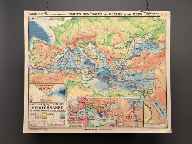
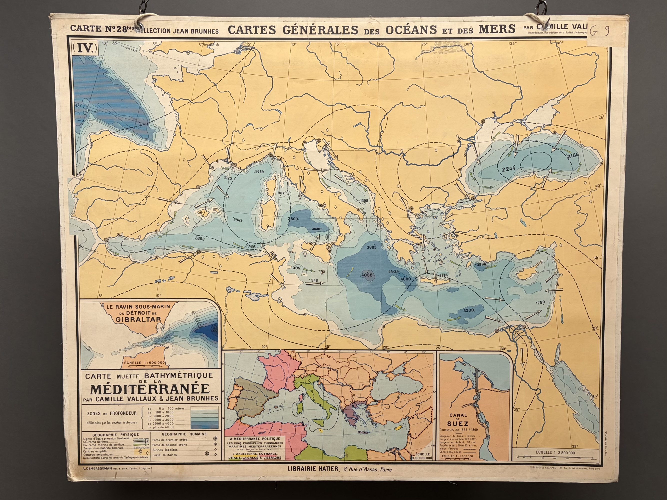
Large 1950s French Schoolroom Poster of the Mediterranean
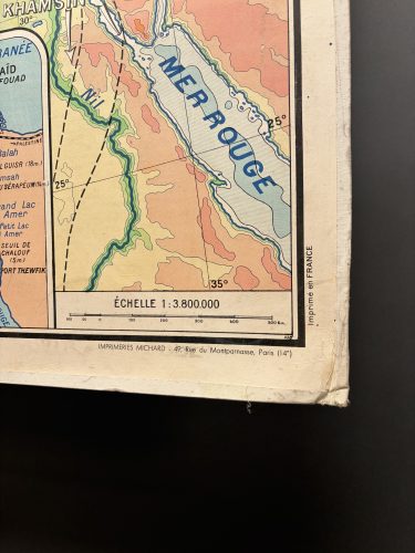
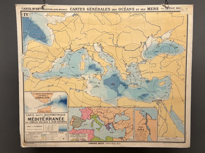
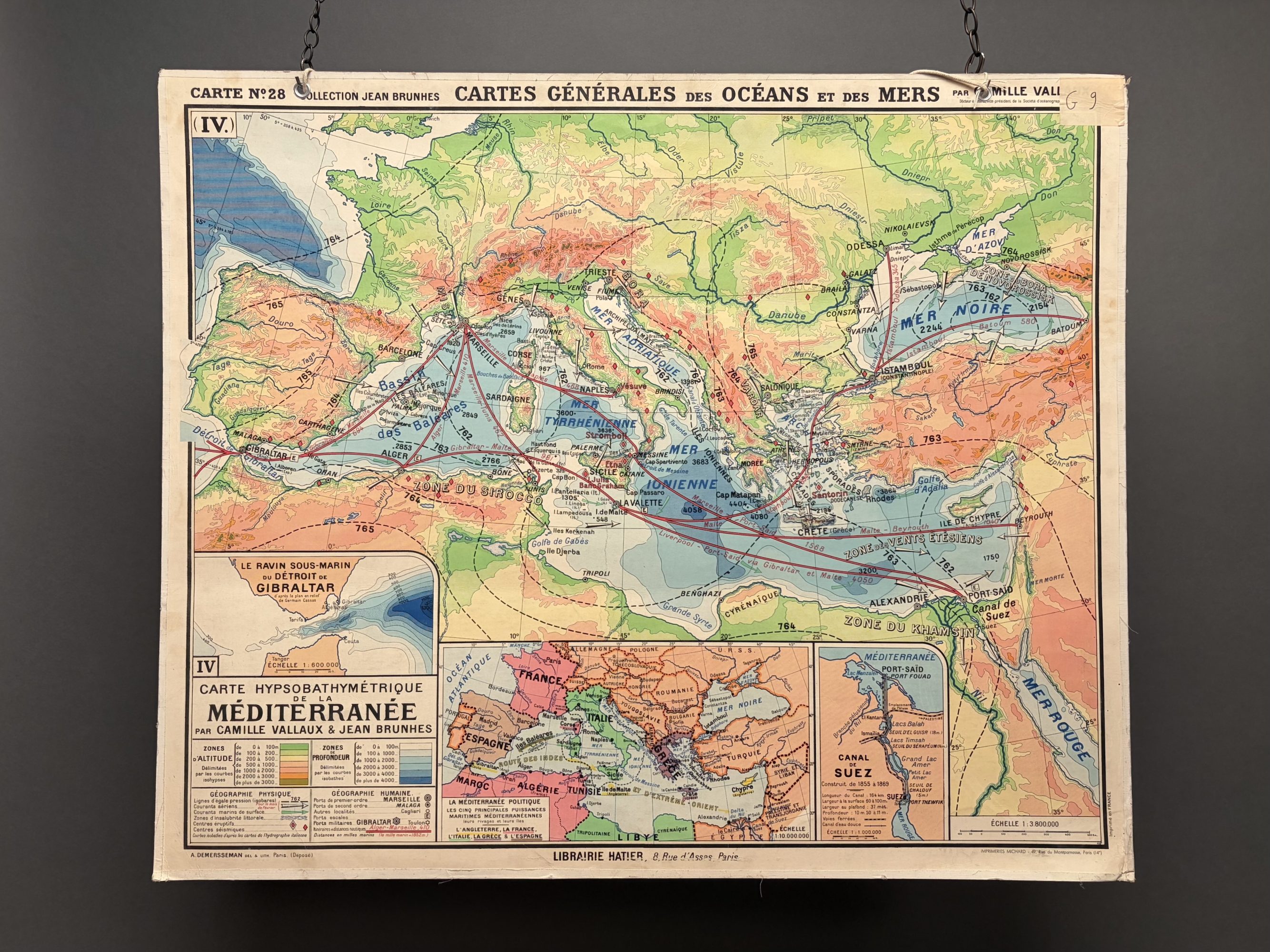
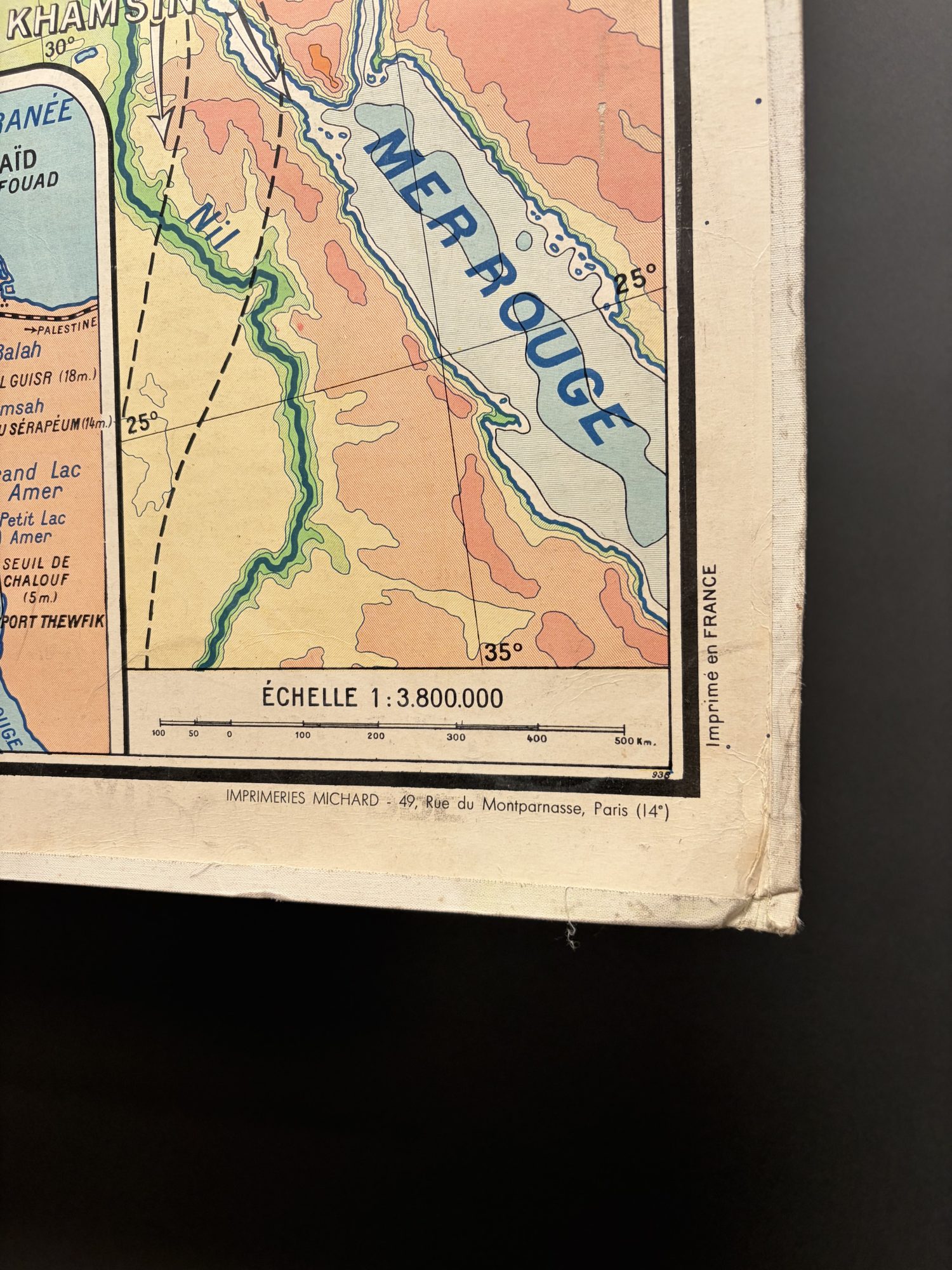
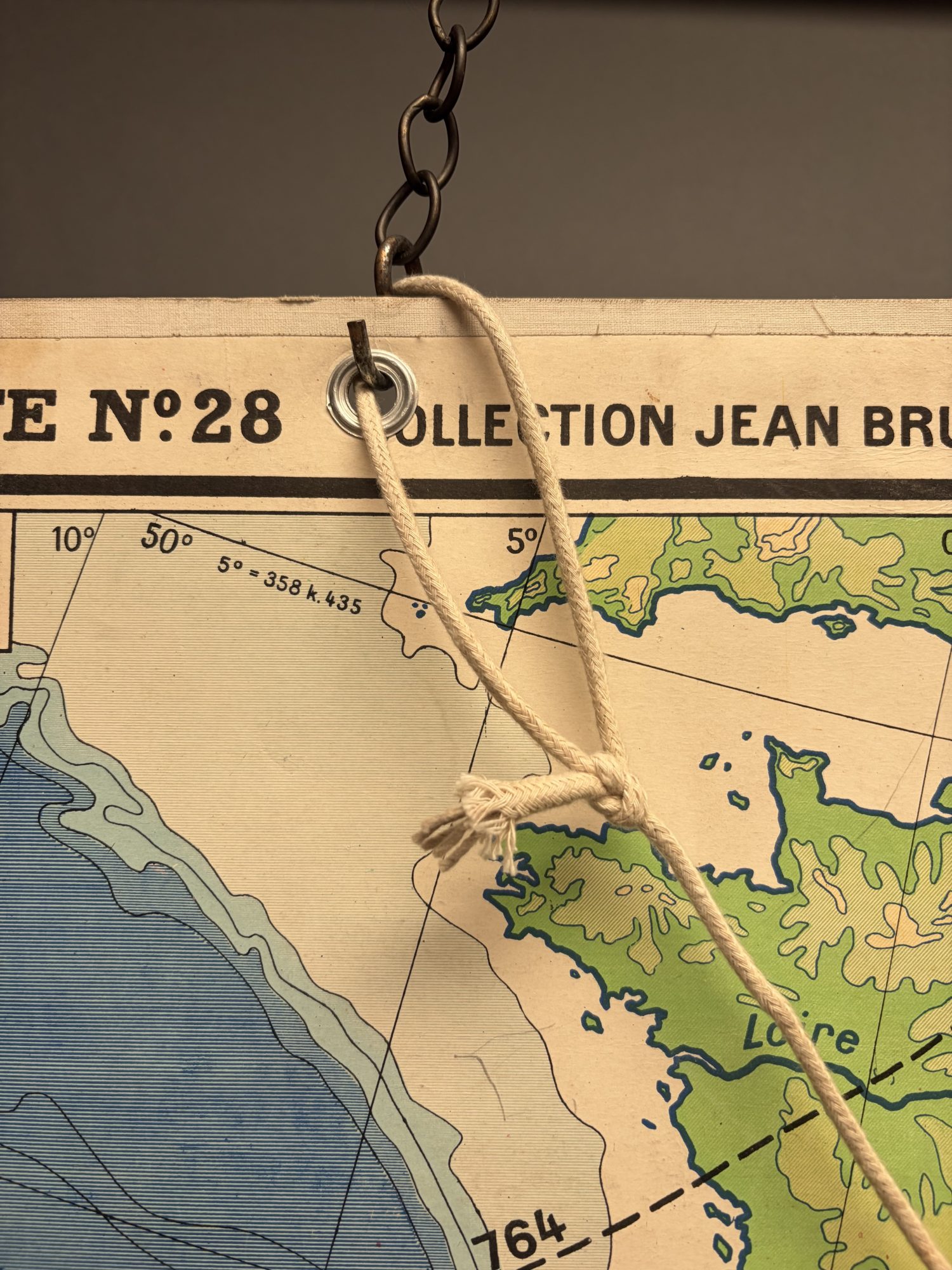
A large, superbly coloured, double-sided schoolroom map showing the Mediterranean. French, circa 1950. Mounted on a thick piece of card, one side is an example of hypsobathymetric cartography, depicting both the heights of land masses and the depth of the ocean. The colourful front side would have been used to teach from, and the minimal verso was for testing the students. It has some wear appropriate to its age but otherwise is in good condition and retains the original rope.
Dimensions
990mm / 39"1200mm / 47¼"
Item code: HL9122
Price: £170
Collection Only: Shipping for this item is arranged separately from checkout. We’re happy to provide tailored quotes for carriage, export shipping, and packing once a delivery address is confirmed, or you’re welcome to organise your own courier. All items can also be collected from our Battersea warehouse. For more details, please visit our shipping page.